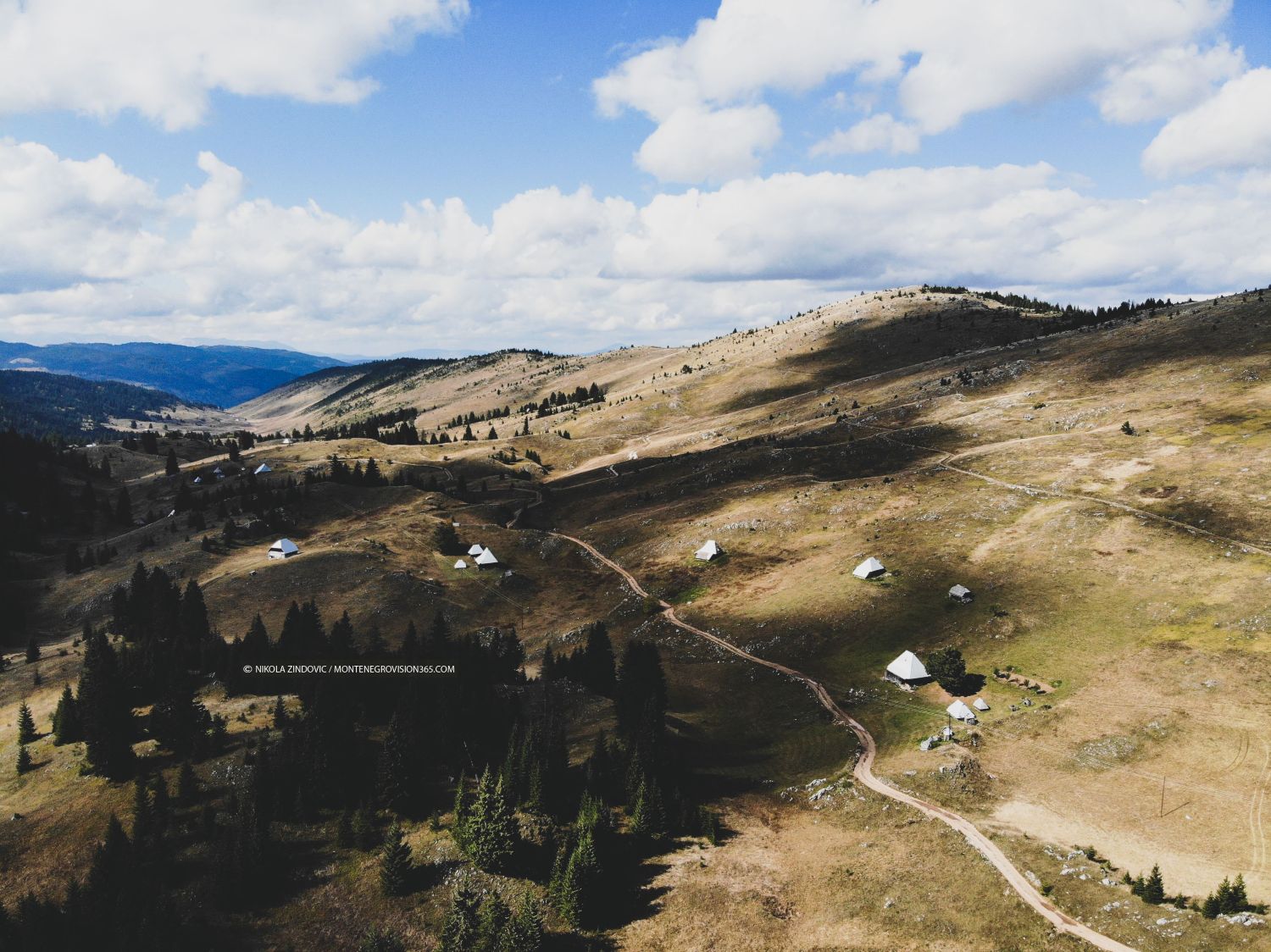
Crvena Lokva is one of the most specific and highest mountain settlements/katuns in the municipality of Mojkovac, located in the heart of the Prošćen Mountains. Here are the most important details about this place: 1. Geographical position and altitude Altitude point: Crvena Lokva is located at an altitude of about 1,600 to 1,648 meters above sea level, which makes it the highest permanently inhabited hamlet (or plateau with katun life) in the municipality of Mojkovac. Location: It is located northwest of Mojkovac, in the mountain massif that extends above the right bank of the Tara river canyon, at the crossing towards Premćani, Vaškovo and Kosanica. 2. The origin of the name and natural features The name was derived from the natural puddles (natural depressions in which water is kept for watering livestock) and the specific reddish, clayey soil that characterizes certain parts of this plateau. The landscape consists of spacious meadows, high-altitude pastures and a dense environment of coniferous forest. There are also abundant sources of drinking water in this area. 3. Katun life and tradition Crvena Lokva was historically the main place in Katun for the inhabitants of Potar villages (such as Gostilovina and Prošćenje). Locals and brotherhoods from this region (such as Medojevići, Filipovići, Baltići, Rovčani, Smolovići and others) drove their cattle here during the summer months for decades. The area was extremely famous for its high-quality dairy products (cheese and custard/cream) and cattle breeding on clean mountain pastures. 4. Mountaineering and untouched nature Mountaineering routes: The Prošćen Mountains and the Crvena Lokva area are considered one of the still undiscovered and authentic oases of northern Montenegro. Mojkovac mountaineering societies organize hikes that lead through Marmor and Prošćenje to the peaks and plateaus around Crvena Lokva. From the surrounding ridges you can enjoy an exceptional view of the Tara canyon, Durmitor, Sinjajevina and Bjelasica.
Crvena Lokva