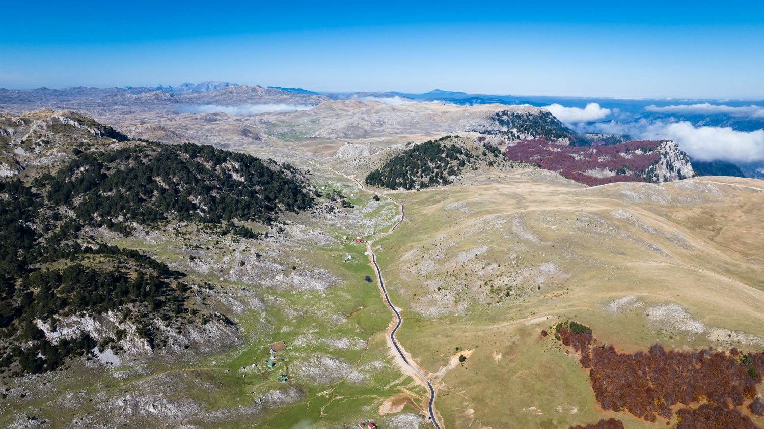
Borova glava is a rocky and very recognizable peak in the central part of the Sinjajevina mountain, which rises to an altitude of 1,890 meters.

Here are key details about this peak and its surroundings:

1. Location and geography
Altitude: 1,890 masl.

Surroundings: It is located at the junction of the extensive Sinjajevina fields and pastures with the more rugged parts of the mountain. In its immediate vicinity there are well-known localities and villages such as Okrugljak and Semolj, as well as the source of the Bukovica river.

Appearance: Unlike some completely grassy and gentle hills of Sinjajevina, Borova glava has a slightly more pronounced rocky structure and a ridge from which there are great viewpoints.

2. Viewpoint and panorama
From the very top of Borova glava there is an open view of:

The vast plateau of Sinjajevina and its undulating terrains covered with grass.

Neighboring mountain massifs – Moračke planina (Žurime, Kapu Moračka), Lola, Vojnik and Durmitor.

Bukovica river canyon and the surrounding Katun area.

3. Significance for hiking and routes
Accessibility: The ascent to Borova glava belongs to the easier hiking tours, given that the very foot of the peak can be reached by macadam and cart roads that cross Sinjajevina.

Transversal: Borova glava is a frequent passing or passing point for mountaineers who make multi-day tours in Sinjajevina, as well as for fans of mountain biking and off-road driving (jeep-safari / quads) on the route between Šavnik, Boan and Kolašin.

4. Katun environment
Like the greater part of Sinjajevina, the area around Borova Glava is linked to the cattle breeding tradition. During the summer months, herders stay with their cattle in the surrounding valleys and katuns, so this area is known for its peace, untouched nature and authentic mountain ambience.